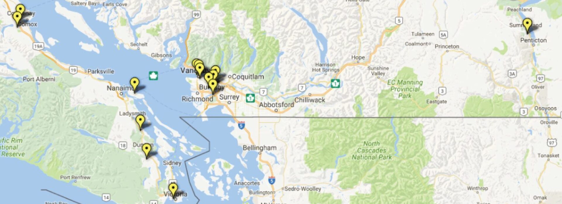
Geomedia for Marketing Real Estate Properties
Geomedia for Marketing Real Estate Properties is the next wave for sharing comprehensive details for realtors, buyers and renters. Geographic Information System maps represent a new and exciting format in which to display details about properties for sale or lease, in an industry that  is based on ‘location, location, location’! Perspective buyers or renters can simply click on a pin located on a map of the area that they’re interested in residing or operating a business, to open up a page chock full of as many details as the marketer wants to upload. This makes the process of locating and comparing specs of properties fast and easy.
Brokers can list every property they represent all over a city, regardless of the neighbourhood, or have custom made maps created that just list property in a specific area, whether it is their listing or not, and have a better chance at gaining commissions they don’t represent.
 The map manager can upload detailed contact information for agents and brokers involved with marketing a property. They can embed videos and logos, interior and exterior photos of the property along with floor plans, aerial and 3D views, directly on the pinned page. Links to a variety of resources can also be uploaded, including an MLS database, tax records, more videos, and points of interest in the neighbourhood, such as schools, shopping malls, grocery stores, restaurants, transportation routes and hubs, parks, sport, recreation and recycling facilities, and more attributes that people want to know about when they select their new neighbourhood. The buyer or renter can quickly get an idea of property values with a click, allowing them to quickly compare prices, lot size and other real property data, rather than typing in addresses, or combing through MLS listings found in a specific area. Maps can be customized to only have properties listed in a specific price range, lot size, business requirements, or whatever criteria desired.
The beauty of Geomedia for Marketing Real Estate Properties is that it is both a visual medium, and a platform to share a wide range of reports and other data for both professionals and prospective home purchasers or renters. Once people get a taste of the ease with which properties can be viewed using the perspective of Geographic Information System maps, there will be no going back!
The types of maps that can be created using GIS technology are limitless. See sample map for Solar Providers. Visit Illuminate Media and Communications for more examples of marketing tools and writing.
